Tongariro Crossing
Another early start to catch the shuttle bus to the start of the Tongariro Crossing. The Tongariro Crossing is widely regarded as the best single day tramp (kiwi's word for hike) and is becoming increasibly popular. We were quite surprised with the number of tramper's milling around the car park at the start.
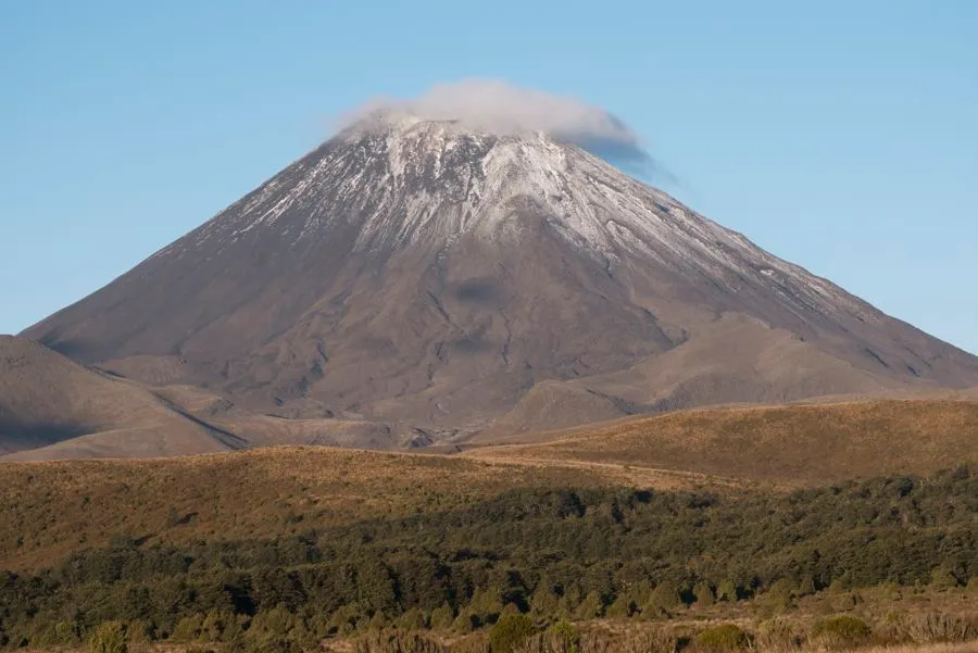
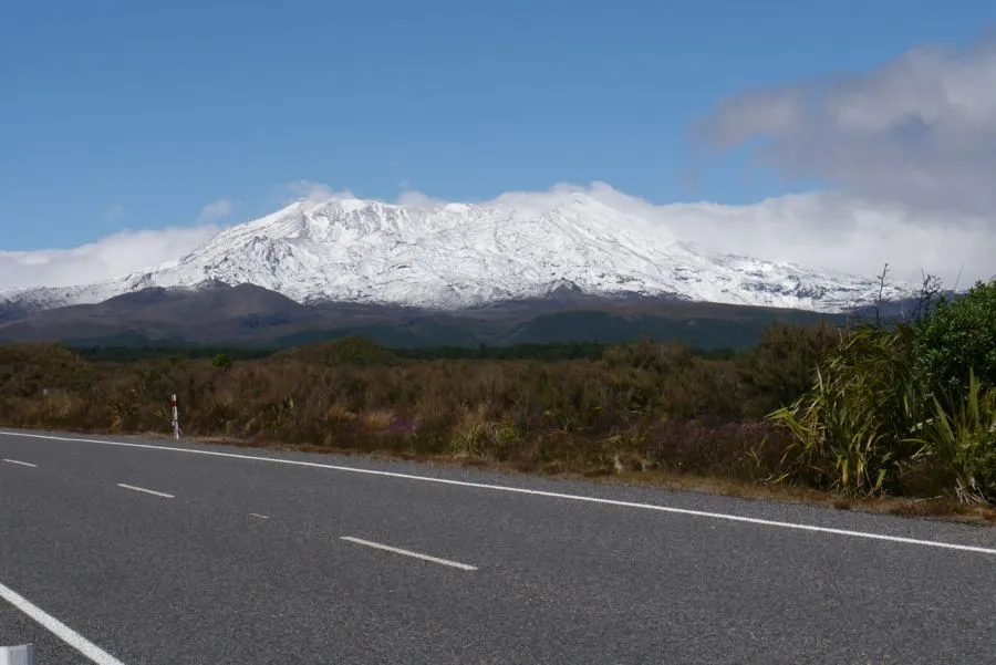
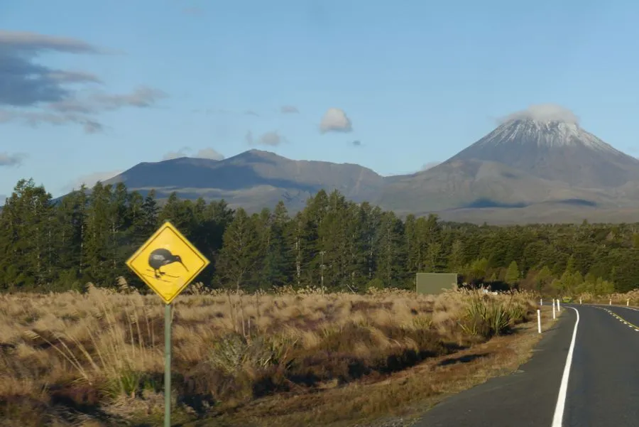
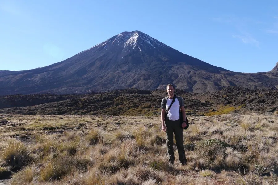
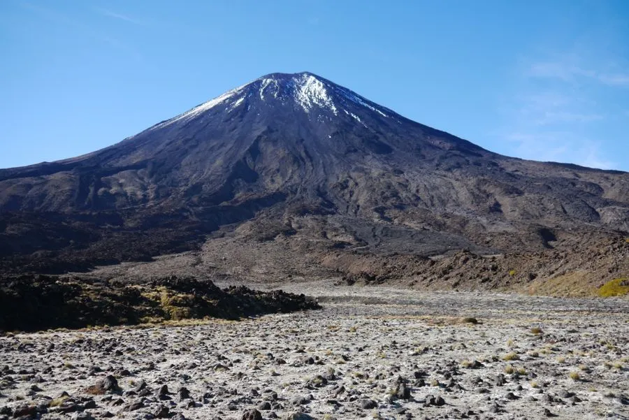
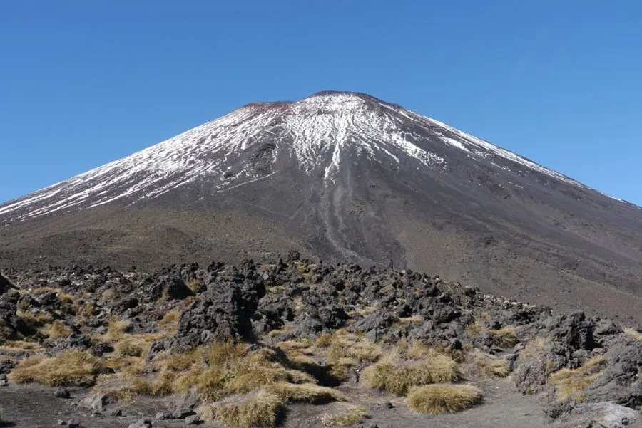
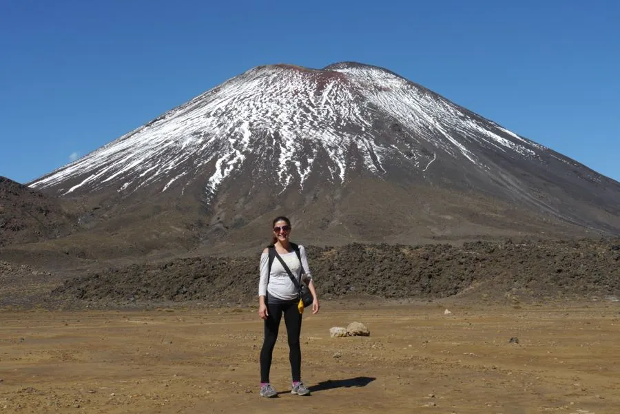
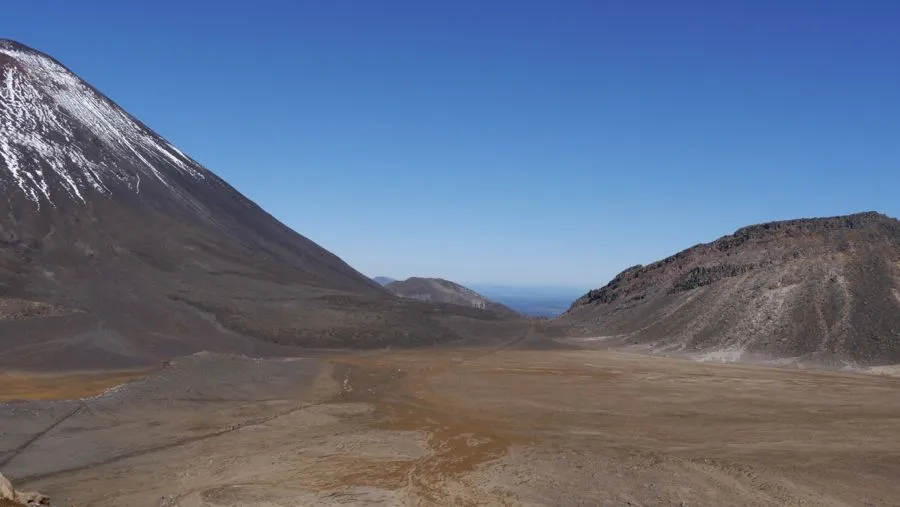
After we left the south island a major weather system with severe weather warnings had moved in across the Tasman Sea. We had been warned that remnants of the storm could make the crossing wet and windy and to proceed with caution. However, once again we had got lucky with the weather and the sky was clear with only a gentle breeze. This made for some magnificient pictures of the imposing Mt Ngauruhoe dominating the landscape over the Tongariro National Park. We had recently watched the Lord of the Rings trilogy and Nilgun was reading the books. Mount Ngauruhoe was used as Mount Doom in the film as it has a textbook cylindrical cone.
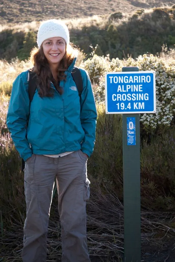
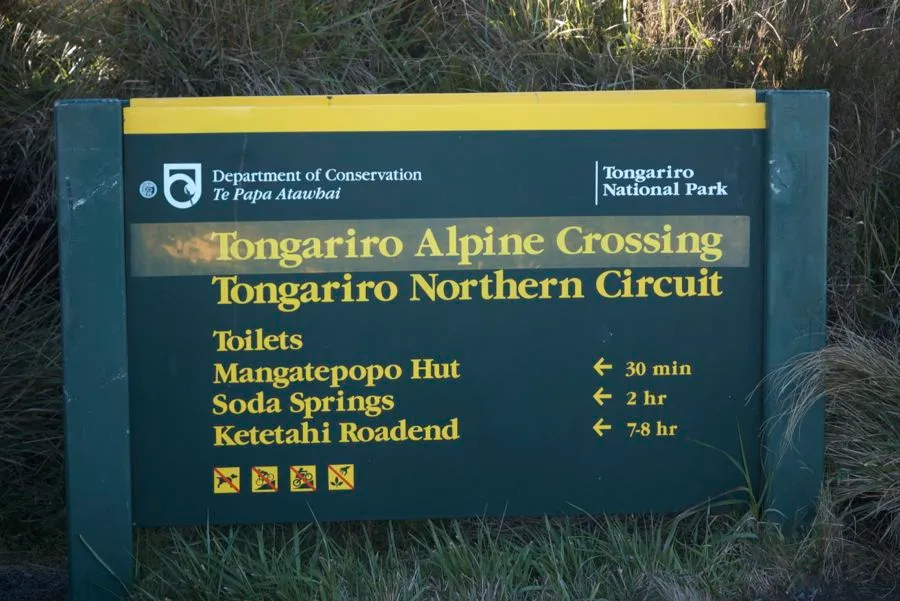
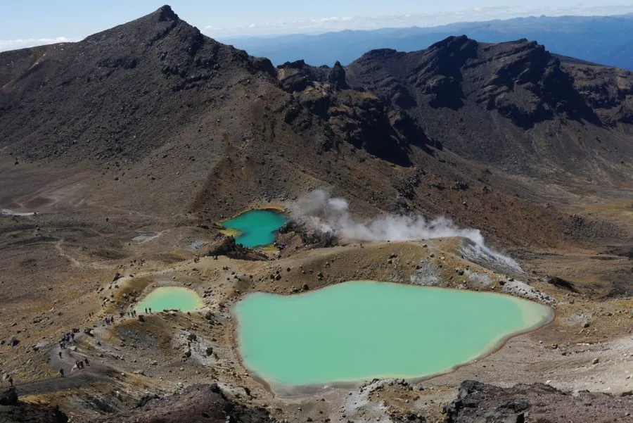
The track is 19.4 kilometres and is estimated to take 7-8 hours. Being super safety conscious the New Zealand the shuttle bus drivers takes a register of everyone so that they can ensure nobody is left on the track at the end of the day. The main attraction of the track is the two active volcanoes, Tongariro and Ngauruhoe, the craters and the Emerald Lakes. More on these later.
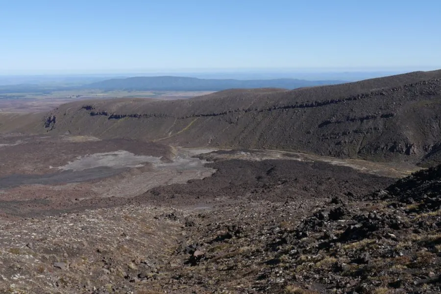
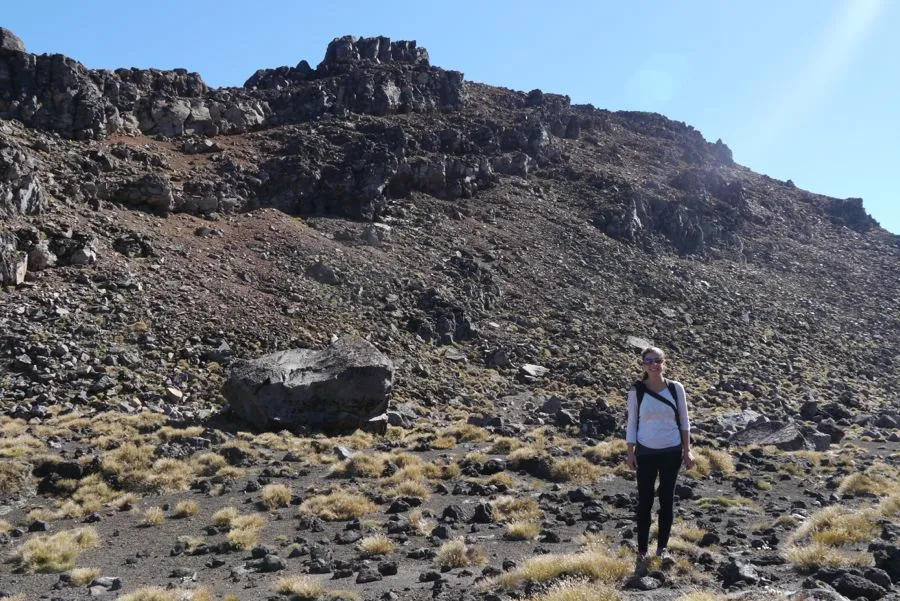
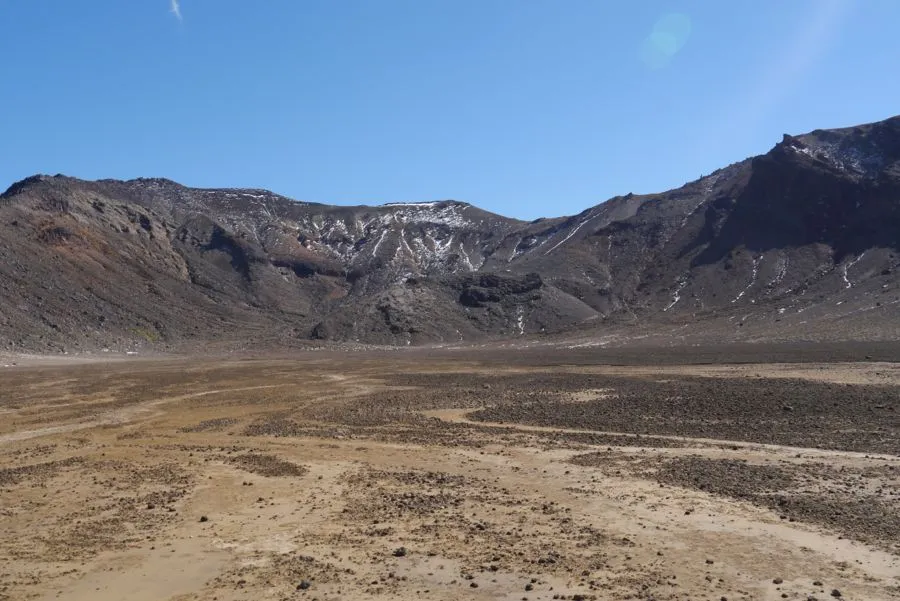
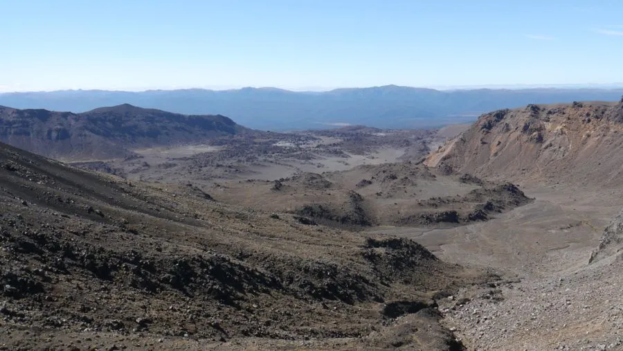
The walk begins where there is plenty of brush vegetation but as the track steadily climbs the brush thins out to small tussocks. I don't know whether this is due to the altitude, rain shadow caused by the volcanoes or the recent (2006) volcanic activity. En route we made a small detour to see the Soda Springs. With that name, I was half expecting to see carbonated water bubbling out of the rocks, so was a little disappointed when it didn't. After a pretty steep climb we reached a plateau of reddish sand and rock, we debated whether this was a crater or not. From the pamphlet we were carrying we found that it was indeed called a crater, but technically it was not a crater. Confusing.
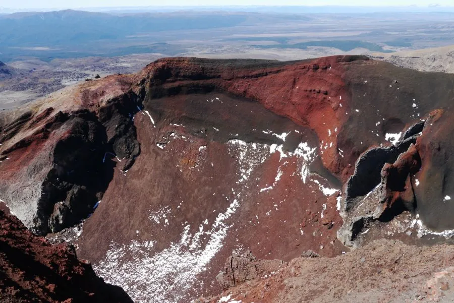
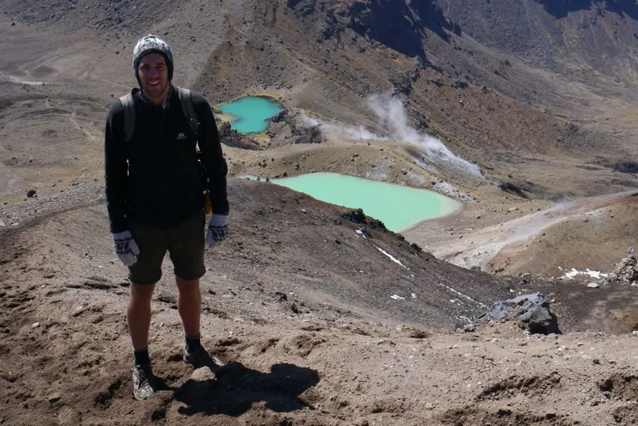
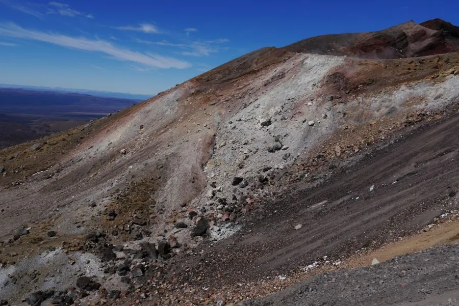
Another steep climb up to Red Crater, this climb much more tricky than the neat steps that were cut into rock of the earlier climb. No doubt that Red Crater really is a crater this time, and you can see from the pictures why it has it's name. A brief stop for sandwiches then we continued down to the emerald lakes. The descent was down a hill thick with small volcanic stones. It was quite tricky and my sadistic side came out as I filmed Nilgun climbing down hoping she would have a spectacular tumble!
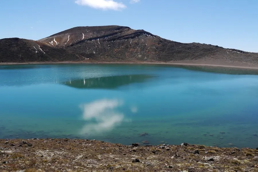
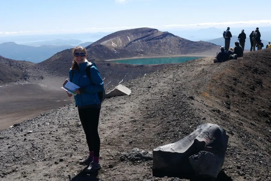
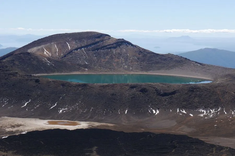
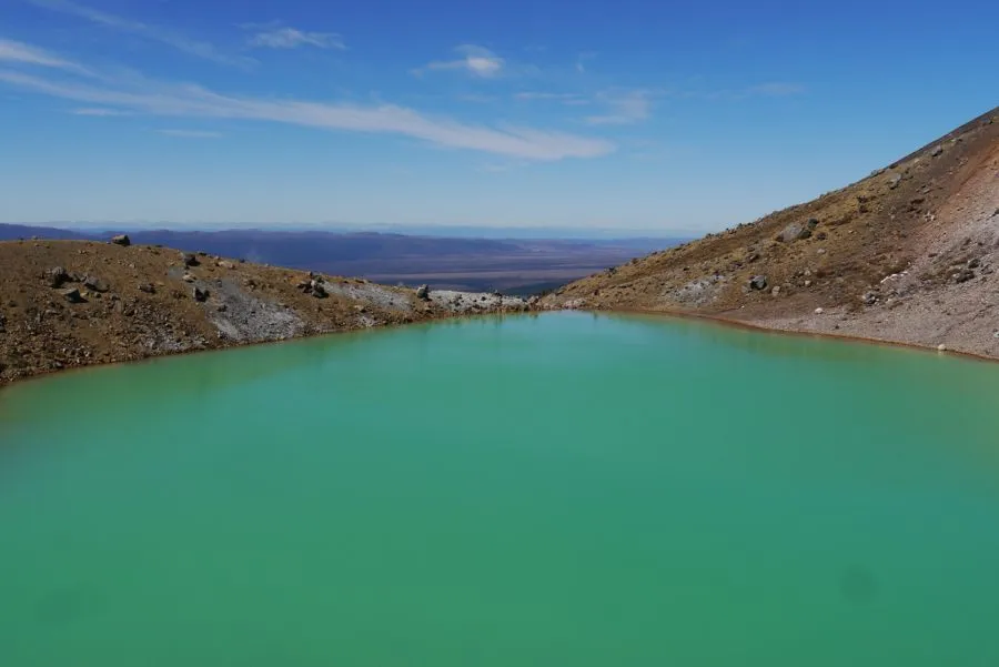
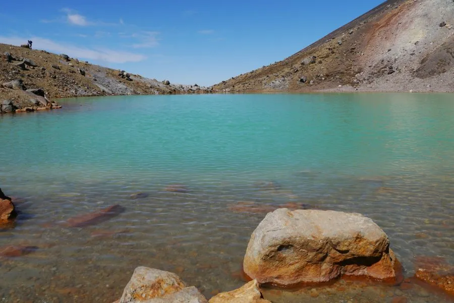
The three Emerald Lakes each have an amazing colour and look totally opaque. The fumaroles and sulphur deposits along with multi-coloured rock make the area around the lakes look fantastic, but a bit smelly! The track also took us past the Blue Lake - I'll let you guess the colour of the water! As they say, a picture is worth a thousand words.
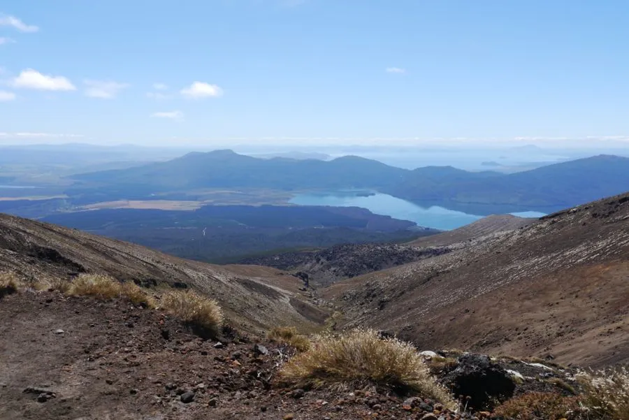
After the lakes we hastily walked the remaining 8 kilometres as we wanted to catch the earlier bus. The scenery on the other side was much less dramatic, although we could see the massive Lake Taupo in the distance. We were pleased to complete the walk in just under 6 hours. Next stop Lake Taupo, but after the 42 Traverse and Tongariro Crossing I think we will be taking it easy for a bit.